
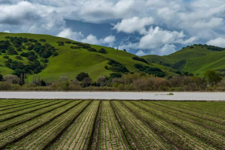
Photo: Floodwaters from the Salinas River fill agricultural fields in Spreckels, Calif., Monday, March 13, 2023. (Nic Coury/San Francisco Chronicle via AP)
With drought taxing water supplies across the West, federal lawmakers introduced a bipartisan bill Thursday to better understand how much water we have, by figuring out just how much we lose.
The legislation would create a new program under the Department of Interior to use satellite imagery to estimate how much water is lost to evapotranspiration from crops, which makes up one of the largest chunks of water consumption in arid environments like the American West. Evapotranspiration is the water from the ground and surfaces of plants that is lost to the atmosphere.
Sen. Catherine Cortez Masto, D-Nev., and Rep. Susie Lee, D-Nev., reintroduced the Open Access Evapotranspiration Data Act on their respective congressional floors Thursday alongside Sen. John Hickenlooper, D-Colo., and Reps. Chris Stewart, R-Utah, Jared Huffman, D-Calif., and Burgess Owens, R-Utah. Similar legislation was introduced in 2021 and passed by the House before it died in the Senate.
“Nevada and other states along the Colorado River Basin are continuing to face a water crisis, and we need every tool possible to protect our water resources,” Cortez Masto said in a statement. “My legislation will help us measure and better understand our water resources and will make essential water data more accessible.”
Lee said that concept would expand on the OpenET program — a public-private partnership supported by NASA, the Desert Research Institute and the Environmental Defense Fund — nationwide in order to provide water managers and farmers with […]
Full article: Water consumption in West captures attention of lawmakers