Strong storms and cold temperatures this winter have left a behind a deep snowpack in the Sierra Nevada Mountains, which provides water for about 23 million Californians from the Bay Area to Southern California. So how does all that water actually travel hundreds of miles to the Bay Area, Central Valley and Southern California?
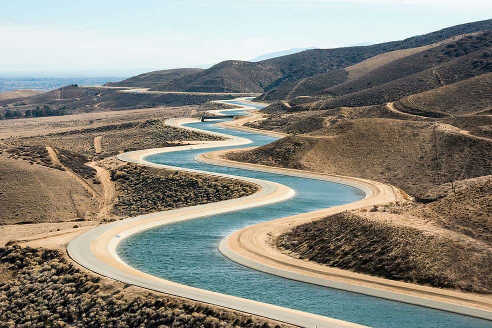
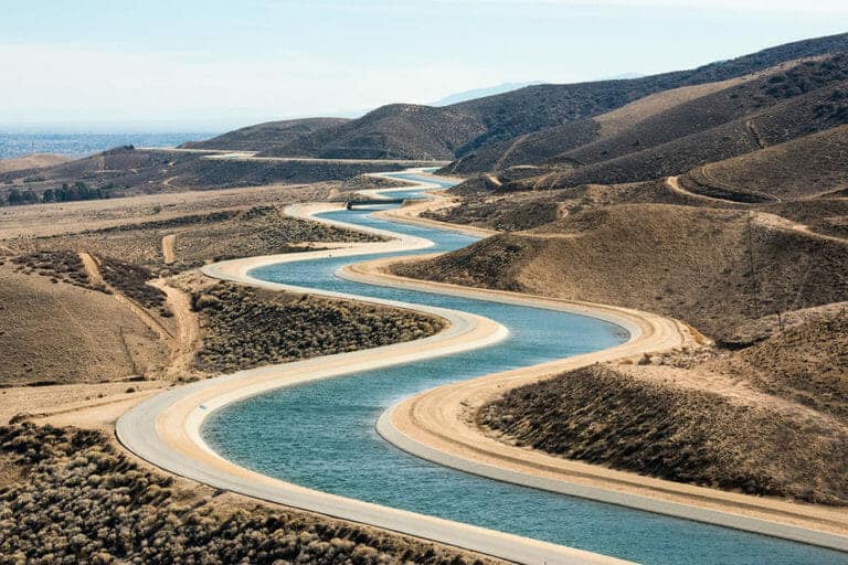
If temperatures are cold enough, the Sierras act as a giant natural reservoir that stores snow until it melts in spring and runs down the mountains in rivers and streams. That water is collected in the State Water Project, the backbone of which is a 444-mile long California Aqueduct — canals, tunnels and pipelines that direct water collected from the Sierra Nevada mountains and valleys of Northern and Central California to Southern California.
The water is used by LA residents, but also for irrigation in the San Joaquin Valley and other areas. Drivers along the 5 Freeway likely have seen segments of the Aqueduct north of Los Angeles, and the images below show more parts of the engineering marvel that provides a water lifeline for California. Before we get to the California Aqueduct, here’s where California’s water […]
Full article: How Water Gets From the Sierra Nevada Mountains to Los Angeles
More about California’s Water:
California’s Looming Water Pollution Problem, Produced Water
California’s water wars heat up at Sacramento hearing over river flows
Defying water suppliers, Palo Alto backs Bay-Delta Plan
San Francisco’s green-grey infrastructure
Preparing for climate change: California’s huge investment in water storage
How Water Gets From the Sierra Nevada Mountains to Los Angeles