

Tag: JPL
-

NASA-Led Study Pinpoints Areas of New York City Sinking, Rising
Photo: The land beneath the New York City area, including the borough of Queens, pictured here, is moving by fractions of inches each year. The motions are a legacy of the ice age and also due to human land usage. Credit: NASA/JPL-Caltech Scientists using space-based radar found that land in New York City is sinking…
-
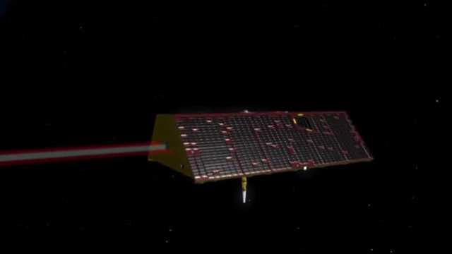
These 2 NASA satellites are ‘smart water meters’ that can track groundwater in Northern California
Northern California’s surface water is relatively easy to track. Mainly because we can see it: accumulating in the snowpack and flowing into reservoirs, rivers and other bodies of freshwater. By comparison, keeping tabs on groundwater is much harder because it exists deep beneath our feet in various aquifers and well systems. Yet tracking that groundwater…
-
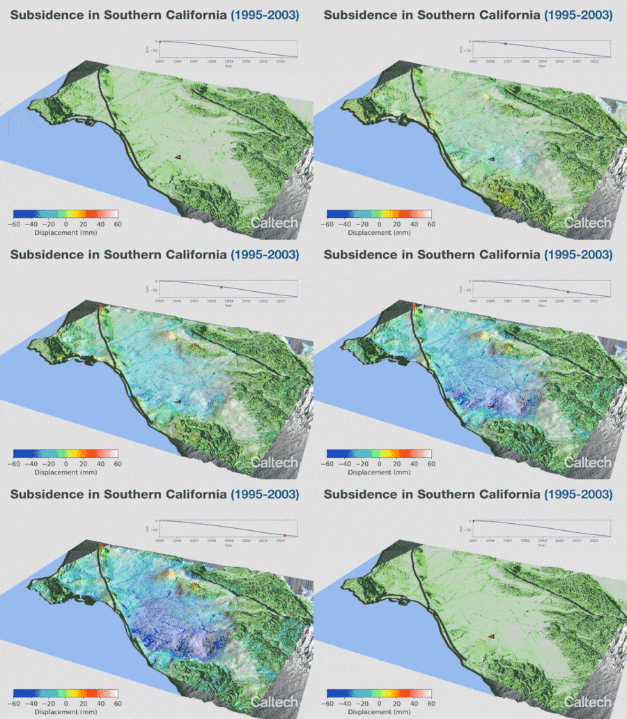
Animation of Satellite Data Shows SoCal “Breathing” Water
Credit: Bryan Riel and Mark Simons Using an unprecedented number of satellite radar images, geophysicists at Caltech have tracked how the ground in Southern California rises and falls as groundwater is pumped in and out of aquifers beneath the surface. Their findings are presented in a study that tracks deformation of the earth’s surface over…