
An interdisciplinary collaboration used 600 years of tree rings from the San Joaquin Valley to reconstruct plausible daily records of weather and streamflow scenarios during that period. Modeling based on those scenarios revealed the region has experienced vast variability in climate extremes, with droughts and floods that were more severe and lasted longer than what has been seen in the modern record.
This new approach, combining paleo information with synthetic weather generation, may help policymakers and scientists better understand – and plan for – California’s flood and drought risks and how they will be compounded by climate change.
The group’s paper, “Understanding Contributions of Paleo-Informed Natural Variability and Climate Changes on Hydroclimate Extremes in the San Joaquin Valley of California,” published Nov. 13 in Earth’s Future, a journal of the American Geophysical Union. The lead author is doctoral student Rohini Gupta.
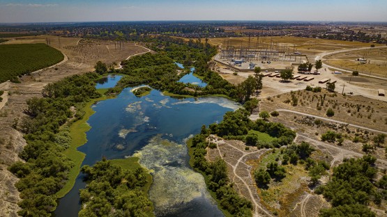
The San Joaquin Valley sits in the southern part of California’s Central Valley, a major agricultural hub from which much of the nation gets its produce. Over the last few years, the region has seen a wild swing between severe drought and significant atmospheric rivers, which makes the valley a bellwether for the climate hazards that are facing the rest of California and much of the world, according to Patrick Reed, the Joseph C. Ford Professor of Engineering in Cornell Engineering, and co-senior author of the paper.
“If we think of it as a translatable example, not everything is exactly identical, but the type of Mediterranean climate, snow-dominated dynamics, the mix of urban, agricultural and environmental flows are all representative of global challenges and specifically of California’s challenges,” Reed said. “California is making major institutional and infrastructure investments and thinking about where their water supply vulnerabilities are.”
The project brings together the Reed Research Group’s expertise in water resources planning with the tree-ring analysis and statistical capabilities of co-senior author Scott Steinschneider, associate professor of biological and environmental engineering in the College of Agriculture and Life Sciences.
“We really wanted to bring the strengths of our two groups together to create a very robust methodological and application-based contribution that would allow us to take diverse datasets that we have for the region and make them actually usable for modern day water systems planning and management,” said Gupta, who developed the method for reconstructing dominant California weather patterns in a previous paper.
The researchers’ weather reconstruction was informed by […]
Full article: news.cornell.edu